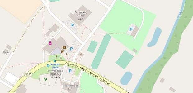


Each of the project HANSA cities recently developed and launched Mobile App "Explore Hansa". The Straupe App is created using the free access OpenStreetMap as the background map. Unfortunately, for Straupe's surroundings it was incomplete. Therefore on June 16 Pārgauja Municipality organized the first public OpenStreetMap mapping event to help Straupe become more visible.